Ripley North - Closing the gap
- Dave Shaw
- Mar 15
- 2 min read

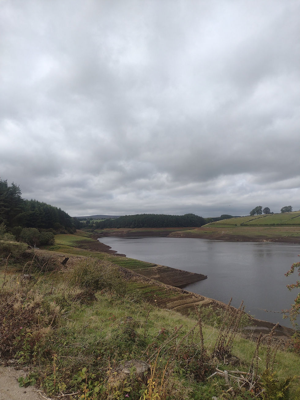
One of my walking goals this year is to complete "The Nidderdale Way", a 66 mile walking trail in and around the Nidderdale Area of Natural Beaty. I started my hiking last June, and have I been working of the trail in manageable chunks. I haven't hiked the trail every weekend, but instead I have been trying to wait for non-gloomy days to explore the new bits. This day I filled on of the larger remaining gaps - the stretch from Ripley to the Rocks.

The Trail's first 2 miles covers what can be driven in a 1/2 mile when starting from Ripley. After all the rain there was quite a bit of mud, and I really appreciated the effort someone made on this stream crossing.

One of the goals was to finally walk around a little bit in the village of "Shaw Mills". There were two originally water wheel powered mills in the village - High mill and low Mill. Both mills are mostly intact, but neither is used for the original intent. This is a near little village, but unfortunately I didn't find a pub in it.


The last stretch of the hike before getting into Brimham Rocks is a now bridle that is labeled as "Monks Wall" on the ordance survey maps. Best understanding I've heard is that this indicates prior to the destruction of the Abbey's around 1539, there would have been a wall here marking a boundary that was walked by the monks. There is still a wall here, but it looks a little more current than that timeframe

Overall this was just over 11 miles long, with just under 9 of them on the Nidderdale way. I now have only a chunk of miles to do north of Pateley Bridge to complete. That section has a lot of up and down, and is very scenic. I am waiting for a drier, slightly warmer day to hike that.


Comments