Misty Pateley West
- Dave Shaw
- Jan 17
- 3 min read

Today I was wanting to fill another gap in the 60+ mile Nidderdale Way trail. I woke Dennis up at 8:15 AM to head out to Pateley Bridge to fill in a missing gap. Of course, he needed to "fuel up" at the Dacre Village Store for his long hike. A double cheeseburger, a Large New York Style Goujon Chicken Sandwich, a few drinks, some chips, and a gooey coffee and he thought he might have enough food to survive. The original plan was that Dennis as going to trudge along with Dad on the hike. It wasn't a great morning, but it wasn't raining and the temperature wasn't that bad.
On arrival in Pateley Bridge, we parked and headed out of town. On the way out, Dennis presented the option for him to walk home (5+ miles on his own), which I accepted so that I could hike without the constant chatting. We split ways right outside of town as I joined the Nidderdale Way and headed west


This was my first time walking out this way. It was a very misty morning, and I wasn't sure what all I was going to see. The first really cool thing was the starting of a hedge base fence. These notorious types of walls/fences are a great way to keep things in or out of an area! Normally the walls around Yorkshire are dry stone - but here someone was using a different approach.
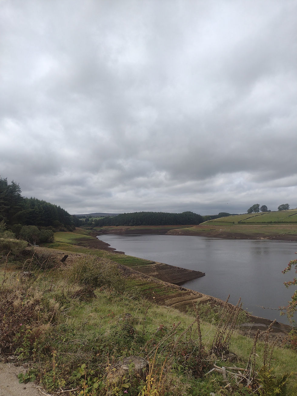
The other site wasn't that unusual, as a lot of the woods are planted/managed and are harvested over time. This particular area however was harvested due to a disease in the this type of trees that kills the forest. The government made a mandatory order to remove the diseased trees and replace them with a hardier tree. The logs will be used for either lumber or wood pellets


As you continue to walk down these paths, it is good every once in a while to stumble across these signs confirming that you are going in the right direction. It also helps when you pass a "Scenic" point that has been indicated on your maps, and you can confirm that you are at least on the trail. This bridge by the way may date from the early 1800's.


After the bridge, you suddenly realize that you are on top of a moor and are all alone! It is a spectacular feeling as you hike alone on what feels like the top of the world. In the mist today, you weren't sure what was coming up ahead - until you started to see another solo tree and some strange rocks piles

Further exploring yielded a sign explaining that this was a Lead mining area dating back to the Romans! The mining stopped in the early 20th century - and that the last attempt to mine didn't result in anything in the 1960's. This is a really cool area, on the border of a natural gorge. On a better day, some serious exploring could be done here


The rest of the walk back to Pateley was following the beck (creek) down to the river Nidd and eventually to town. I had a couple of Oops while recording in Strava so the distance is a little short, but the map is pretty solid.

After our hikes and some chore completion, Dennis and I had a minor celebration at the Royal Oak. They had some new cask beer on tap today.


Comments